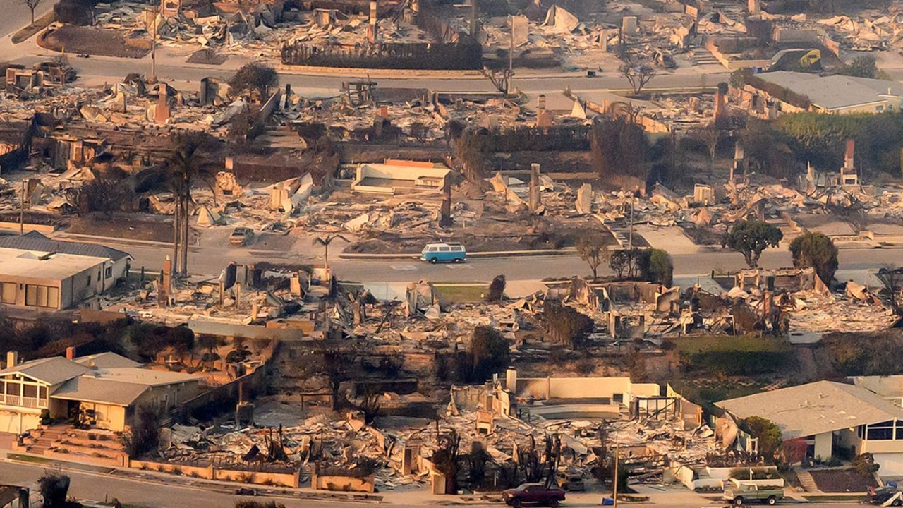
Well-planned defensible space has become one of the most important tools for reducing wildfire risk in Los Angeles. As hotter, wind-driven fires push deeper into residential areas, creating buffers around homes and neighbourhoods is no longer optional—it’s a critical layer of protection. Across the foothills, canyon communities, and dense hillside neighbourhoods, homeowners and neighbourhood groups are turning to defensible-space strategies to slow fire spread, improve firefighter access, and increase overall community resilience.
Understanding What Defensible Space Really Means
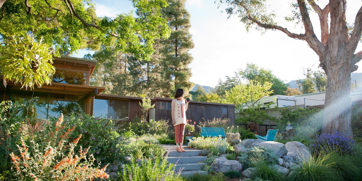
Defensible space refers to the intentional clearing, spacing, and maintenance of vegetation, structures, and outdoor features surrounding a home. Its goal is to reduce fuel and create strategic separation zones so that if a wildfire approaches, flames have fewer pathways to travel.
Table of Contents
In Los Angeles, homes in Very High Fire Hazard Severity Zones (VHFHSZ) are especially encouraged—or legally required—to maintain these safety buffers. The concept breaks down into zones that determine how vegetation and structures should be managed:
- Zone 0: The 0–5 ft Ember-Resistant Zone, designed to stop airborne embers from landing on flammable surfaces.
- Zone 1: The 5–30 ft Immediate Zone, focusing on reducing ignitable material closest to the home.
- Zone 2: The 30–100 ft Intermediate Zone, focused on fuel reduction, spacing, and vegetation thinning.
Why Defensible Space Matters for Los Angeles
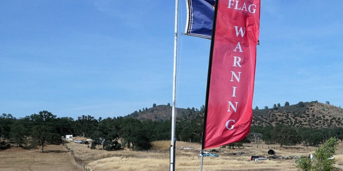
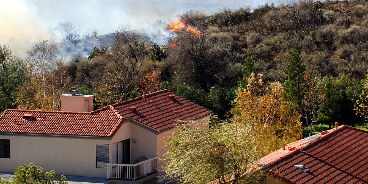
Los Angeles faces a unique combination of challenges: steep terrain, Santa Ana winds, drought conditions, and a dense urban–wildland interface. These factors make neighbourhoods especially vulnerable. Creating defensible space helps communities by limiting the fire’s intensity and giving firefighters a safer, more effective environment to work in.
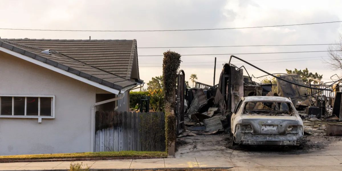
Experts across wildfire districts note that 90 percent of homes lost to wildfire ignite from flying embers, not direct flames. By eliminating flammable materials in key zones, homeowners dramatically reduce their risk.
Zone 0: The Most Important Line of Defence
Fire officials call Zone 0 the make-or-break layer of home protection. This area is directly next to the house, and even small changes make a substantial difference.
Key strategies include:
- Replacing wood mulch with gravel or stone.
- Removing anything that can ignite—patio cushions, brooms, firewood, potted plants with dry soil.
- Installing ember-resistant vents and sealing gaps near roofs and decks.
This zone is often overlooked, yet it is the most impactful. With LA’s frequent ember storms, maintaining a non-combustible perimeter greatly increases survival chances during a wildfire.
Zone 1 and the 30-Foot Buffer
Zone 1 prioritises spacing and eliminating “ladder fuels,” which allow fire to climb from ground vegetation into tree canopies. In hillside neighbourhoods, this zone is essential because fire typically travels uphill faster.
Residents should focus on:
- Keeping shrubs trimmed and spaced.
- Maintaining a clear area under decks and balconies.
- Pruning lower tree branches so flames cannot reach upper canopies.
- Storing propane tanks and grills safely, away from structures.
Many LA homeowners also conduct seasonal yard maintenance during high-risk months—June through November—since dry vegetation becomes highly combustible.
Zone 2: Reducing Fuel in the Wider Neighborhood
Beyond the immediate home, Zone 2 helps slow advancing flames before they reach residential structures. Neighbourhood associations, HOAs, and community preparedness groups often collaborate to manage this shared zone effectively.
Typical work includes:
- Thinning dense vegetation along slopes.
- Mowing dry grasses before fire season.
- Creating clean, accessible pathways so firefighters can move through safely.
- Encouraging consistent maintenance across property lines.
In dense urban–wildland interface areas like Topanga Canyon, Laurel Canyon, Mount Washington, and Pacific Palisades, these community-wide efforts create a united defence grid that protects multiple homes at once.
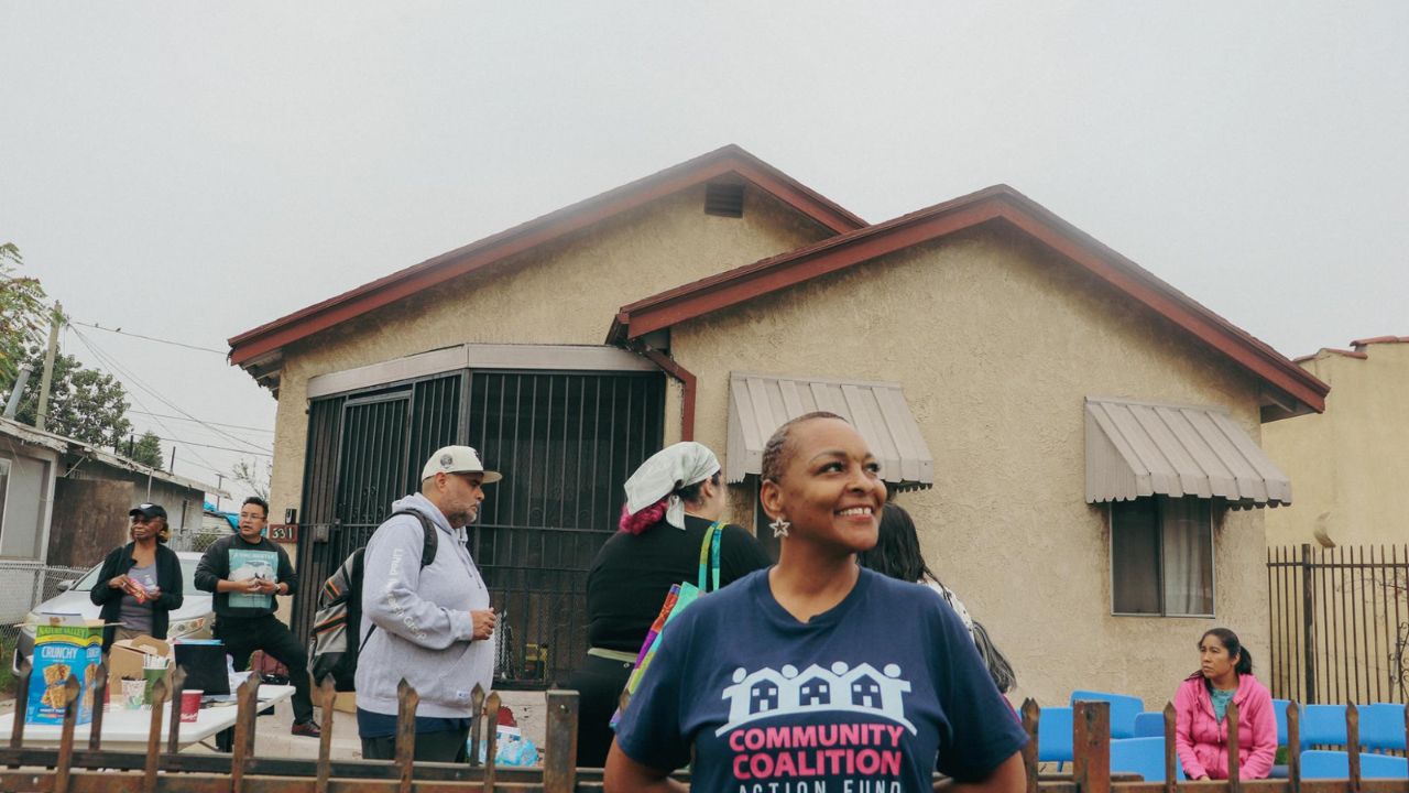
Community Efforts That Strengthen Defensible Space
Los Angeles has seen a growing movement toward neighbourhood-scale wildfire prevention. Community groups host brush-clearing days, partner with fire departments for free inspections, and educate homeowners on best practices.
Several initiatives have gained traction:
- LA Fire Safe Councils, which support neighbourhoods with risk assessments and mitigation guidance.
- Ready, Set, Go! programmes helping residents build evacuation and home-hardening plans.
- Collaborative fuel-reduction projects across canyon corridors.
These local partnerships significantly improve safety during wind-driven wildfires when emergency responders are stretched thin.
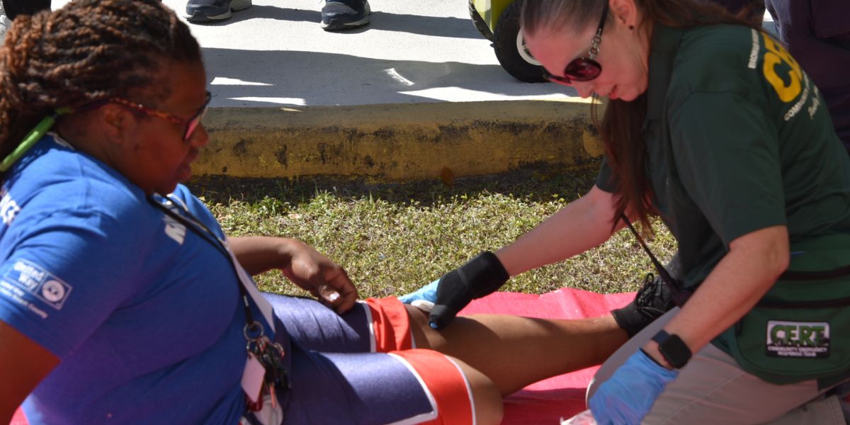
How Defensible Space Protects First Responders
Firefighters consistently emphasise that defensible space doesn’t just protect homes—it protects them. Clear access paths, reduced vegetation, and lower fire intensity allow crews to operate more safely and effectively.
When neighbourhoods maintain defensible space:
- Firefighters can reach structures faster.
- Engines have room to manoeuvre without being blocked by overgrown vegetation.
- Crews can focus on active suppression rather than urgent clearing.
This shared responsibility strengthens overall community resilience.
Preparing for the Future of LA’s Fire Seasons
As climate conditions evolve, defensible space will remain one of the strongest tools for wildfire mitigation. Combined with home-hardening measures such as ember-resistant vents, Class A roofing, and improved building materials, defensible space forms a comprehensive safety strategy for LA’s high-risk zones.
Homeowners and neighbourhood groups who act together stand the best chance of reducing losses and building safer communities.