Los Angeles, CA – In a city where wildfires, earthquakes, and power outages can happen without warning, technology is quietly transforming how Los Angeles residents prepare and respond. From neighborhood alert systems to AI-driven wildfire mapping, digital tools are giving communities the power to act faster and safer when disaster strikes.
The Rise of Real-Time Emergency Alerts
When seconds count, real-time communication can mean the difference between safety and chaos. Los Angeles has invested heavily in technologies like NotifyLA, a citywide alert system that sends critical updates directly to residents’ phones and inboxes. These alerts provide evacuation notices, shelter locations, and safety instructions during emergencies such as wildfires, earthquakes, or chemical incidents.
Table of Contents
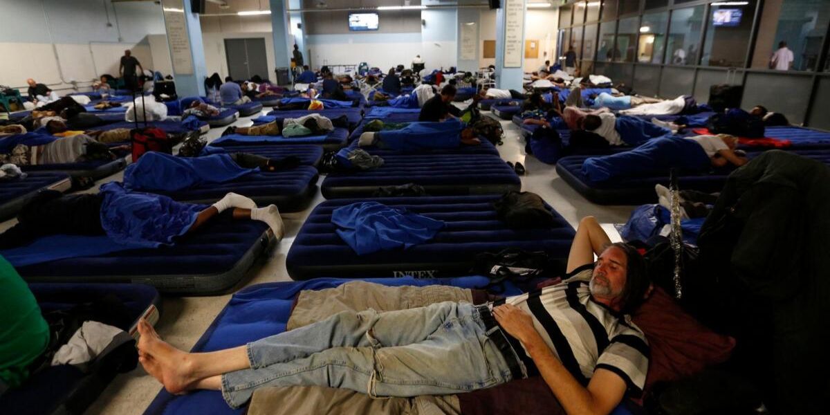
The system is built to target specific neighborhoods, ensuring residents in affected zones get the right message at the right time. Apps like Ready LA County and PulsePoint go even further, offering real-time maps and push notifications for medical emergencies, road closures, and shelter availability.
By keeping the public informed instantly, these tools reduce confusion and improve coordinated action—a key lesson from past disasters in Southern California.
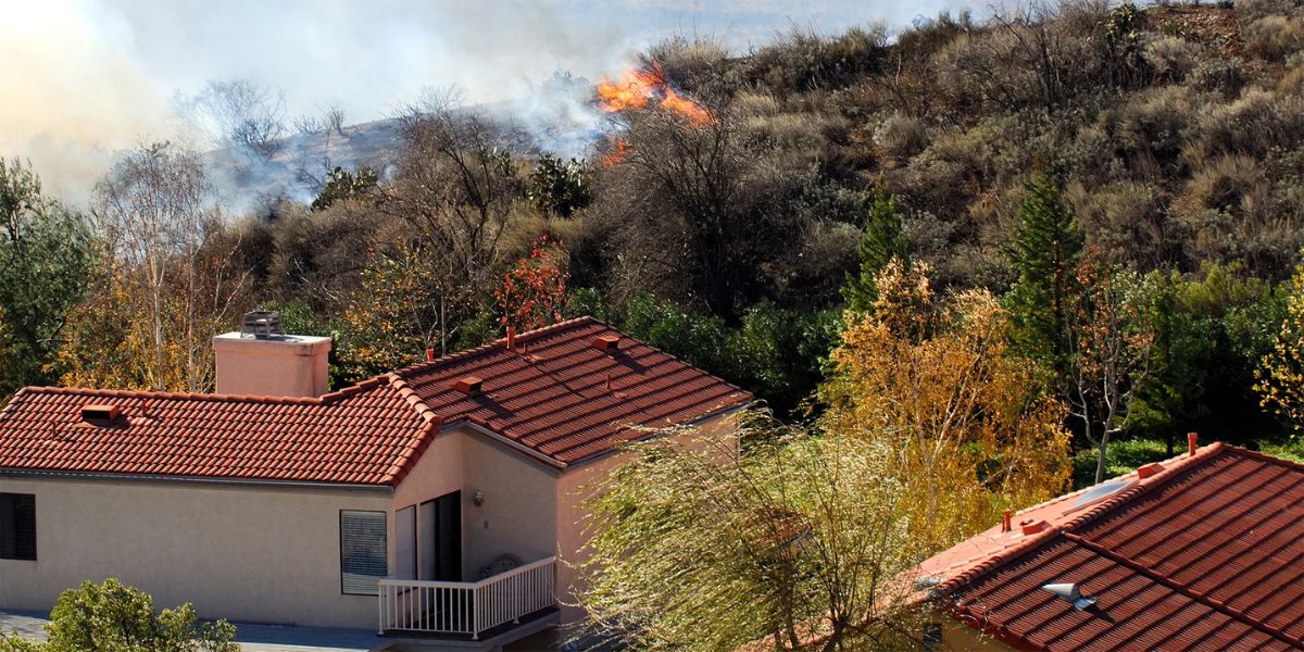
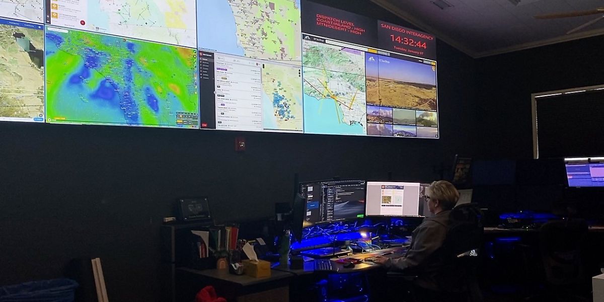
Smart Mapping and Predictive Analytics
Los Angeles agencies and research institutions are now using data-driven models to predict and prevent crises before they happen. Satellite imagery, combined with artificial intelligence, helps officials monitor vegetation density, drought levels, and wind conditions to assess wildfire risk in near real-time.
The Los Angeles Fire Department (LAFD) uses geospatial mapping tools to identify vulnerable areas where homes meet wildland zones. These maps help prioritize brush clearance, schedule inspections, and plan evacuation routes more strategically.
For community planners and homeowners, interactive dashboards make it easier to visualize hazard zones and understand their personal risk levels. This proactive use of technology ensures that both officials and residents are better equipped long before disaster strikes.
Social Media as a Lifeline in Crises
During emergencies, social media becomes more than just a news feed—it becomes a lifeline. Platforms like Twitter (X), Nextdoor, and Instagram allow city departments, neighborhood councils, and community groups to share verified information rapidly.
The Los Angeles County Office of Emergency Management actively uses these platforms to broadcast live updates, debunk misinformation, and direct residents to safe zones. Neighborhood groups often share hyperlocal updates, such as which streets are closed or which shelters still have capacity.
Social media also supports two-way communication, allowing residents to report fires, fallen trees, or blocked routes in real-time. This crowdsourced data can help first responders allocate resources more efficiently.
Mobile Apps for Personal Preparedness
Preparedness starts at home, and technology has made it easier than ever to plan ahead. Apps like Red Cross Emergency, FEMA App, and MyShake are helping Angelenos track disasters and take the right steps before, during, and after an event.
- MyShake, developed by UC Berkeley and Cal OES, provides early earthquake warnings seconds before tremors reach your area.
- The Red Cross Emergency App gives instant alerts for fires, floods, and other local hazards, along with safety checklists.
- The FEMA App includes customizable emergency kits, family communication plans, and shelter maps—all updated in real time.
By turning preparedness into something mobile, these tools ensure that safety is literally in the palm of your hand.
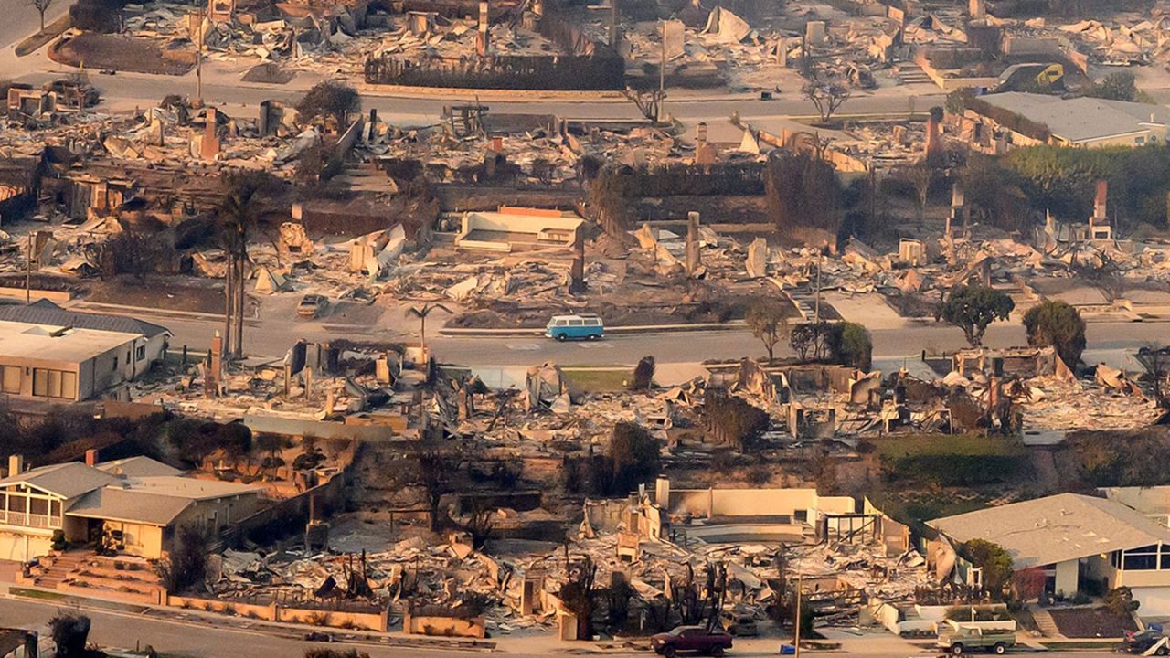
Drones and Emergency Response Innovation
Los Angeles is also pioneering the use of drones for emergency response. The LAFD operates a specialized drone unit that helps assess wildfire perimeters, search for missing persons, and monitor hazardous zones without putting responders at risk.
These drones can fly over inaccessible terrain and stream live footage to command centers, giving crews immediate insights into fire behavior, wind shifts, or damage extent. When combined with thermal imaging, they can even detect hidden hotspots long after visible flames are gone.
The result? Faster, safer, and more coordinated response efforts across LA’s complex geography.
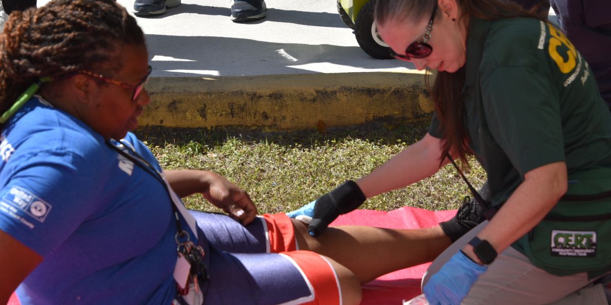
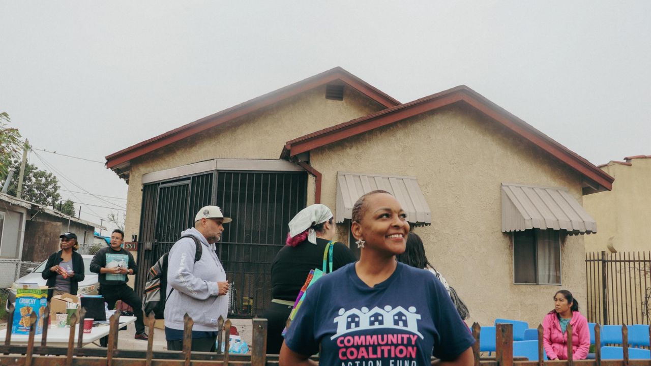
Strengthening Neighborhood Preparedness with Tech
Technology isn’t only about devices—it’s about connection. Neighborhood councils, community organizations, and CERT (Community Emergency Response Team) programs in Los Angeles are now integrating digital tools into their local preparedness efforts.
Many are using Google Maps for evacuation route planning, Slack or WhatsApp groups for real-time coordination, and shared cloud folders to store vital community contact lists and emergency documents. These simple but powerful tools make it easier for neighbors to collaborate and share resources when official help is delayed.
Local initiatives like BeReadyLA and Listos California are also training residents to use these technologies effectively, bridging the gap between high-tech systems and community action.
The Future of Tech-Driven Resilience
As climate change intensifies the frequency of disasters, Los Angeles continues to push the boundaries of technology-driven safety. From AI-based hazard prediction to 5G-powered emergency communications, the future of community resilience is digital.
Yet, the most powerful part of this evolution isn’t the technology itself—it’s the people using it. When residents stay connected, informed, and proactive, technology becomes a shared shield against uncertainty.
Preparedness is no longer just about kits and drills—it’s about digital readiness and community collaboration.
Stay ready, stay informed, and stay connected—visit BeReadyLA.org for local tools, training programs, and updates that help Los Angeles communities prepare for whatever comes next.